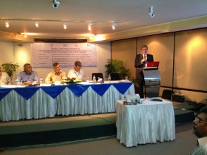
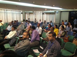
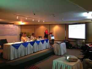
A national consultation workshop was held on 24-25 October 2014 in BRAC headquarters in Dhaka, Bangladesh under the title “Integrated Flood Management with Focus on Coastal Zones of Bangladesh: Development of a Pilot Project on Coastal Flood Management in Selected Areas of Bangladesh”.
The Bangladesh Water Partnership requested through the Integrated Flood Management (IFM) HelpDesk specific support of the WMO/ GWP Associated Programme on Flood Management (APFM). The support had the following objectives: to introduce IFM concepts and tools to the top management of relevant agencies and stakeholders; to analyse the current flood management practices in the coastal zone and develop consensus on what constitutes an integrated approach to flood management in the coastal zone; to obtain feedback from stakeholders on the current coastal flood management policy and practice; and to develop a first draft of an Integrated Flood Management framework for the coastal areas in Bangladesh.
The two-day workshop was attended by over 100 participants, including the Minister of Water Resources, Directors from the government agencies dealing with water, national and international civil society organizations, academia and potential financial partners. The presentations and discussion in the workshop elucidated the main flood related issues in the coastal areas, namely: flood management decisions are frequently taken independently from land and water management, ecosystems and infrastructure; women are excluded from decision-making processes at the local level; embankment heights are not adequate for rising sea level and storm surges, which is a particularly urgent need considering siltation of river beds; technical solutions with narrow scopes are implemented without considering maintenance of infrastructure; foreshore afforestation to reduce impact of storm surges has been limited; limited stakeholder involvement in the design and implementation of revamping infrastructure; limited current forecasting ability of coastal flooding (tidal flood and storm surge), only cyclone forecast and tidal height, no combined flood height forecast in the coastal zone – a consequence of limited coordination between meteorological and hydrological services; drainage of polders is often problematic, causing water logging, leading to breaking of embankments by communities.
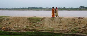
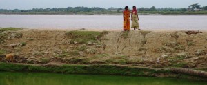
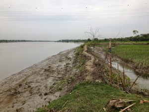
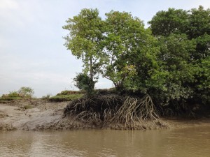
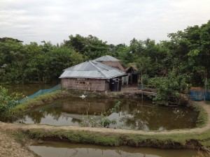
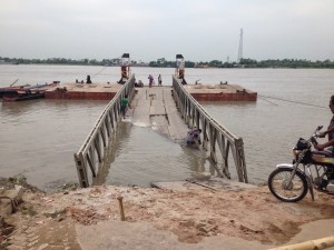
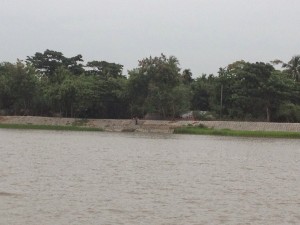
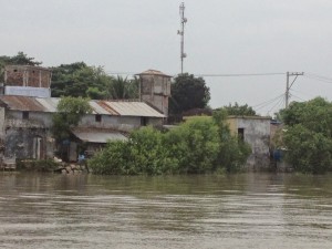
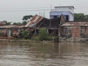
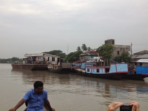
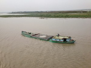
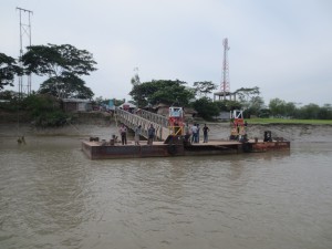
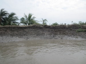
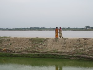
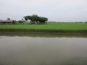
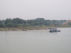
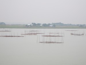
Two poldered areas in the coastal zone were visited by the project team to get a better impression of the issues faced in the coastal area, namely: operation and maintenance of the embankment (erosion) and sluice gates (siltation); access to adequate quality drinking water (arsenic in groundwater, pollution of ponds, salinization); drainage of polders when storm surge surpasses embankment level is often problematic; conflict between rice farmers (dependent on freshwater) and shrimp farmers (needing saltwater) as well as creditors for shrimp farming equipment; cyclone shelters are available for people, but their assets remain unprotected; and inheritance arrangements of land lead to unsustainable plot sizes.
A first draft of the pilot project has been developed by the Coordinating Committee in Bangladesh and outreach to financial partners has started. The APFM is requested to comment and provide intellectual backstopping.
Have a look at the pictures of the workshop!