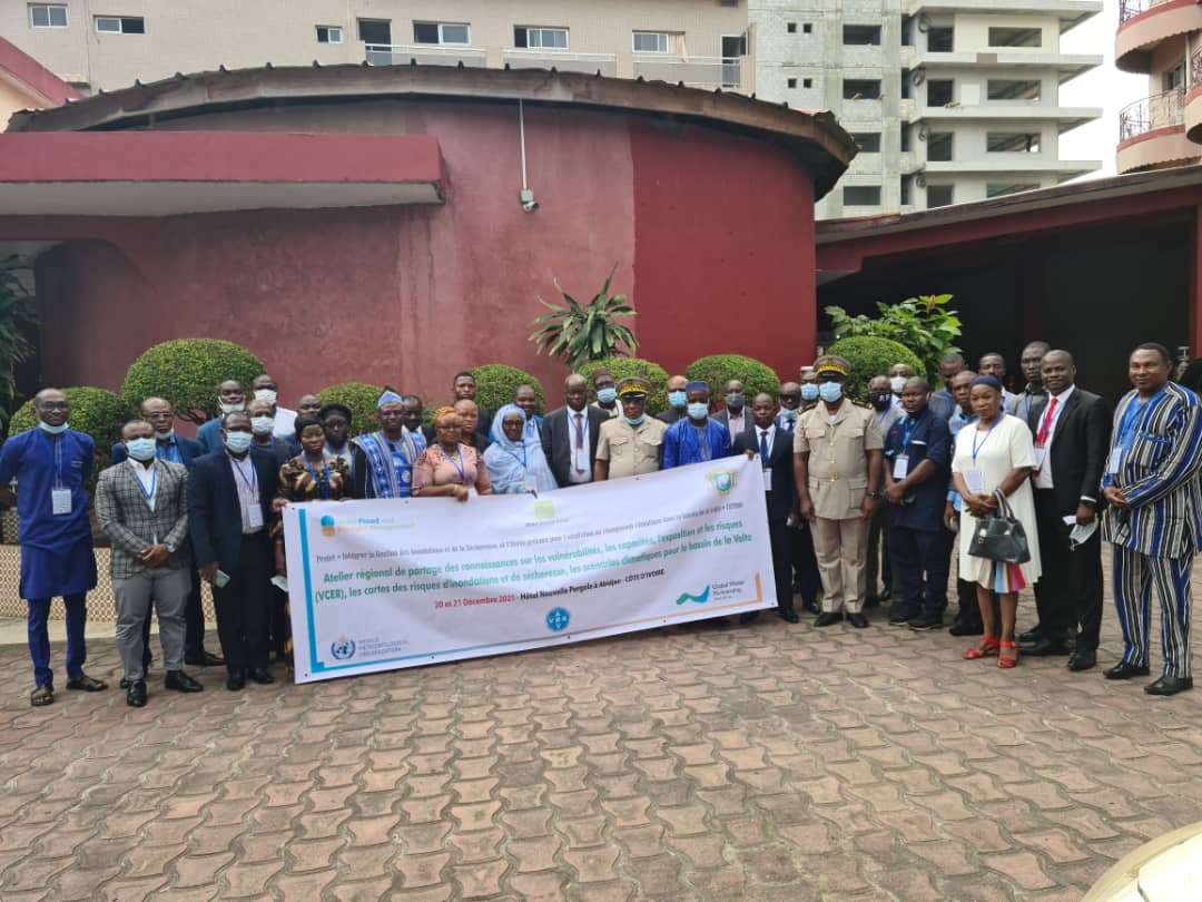
The Volta Flood and Drought Management (VFDM) project team (World Meteorological Organization, Volta Basin Authority, Global Water Partnership-West Africa) with the technical support of CIMA Research Foundation are organizing a joint two-day regional workshop on 20 (today) and 21 (tomorrow) December 2021 for the National stakeholders to deliver knowledge on Vulnerability, Capacities, Exposures and Risks (VCER’s) database, Floods and Drought risk maps, Climate Scenarios for the Volta Basin and to gather feedbacks and suggestions for improvement.
More than 40 participants are attending the regional workshop mainly the Directors or nominated senior experts from the National Meteorological and Hydrological Services, Civil protection or disaster management, Water resources in the Volta Basin.
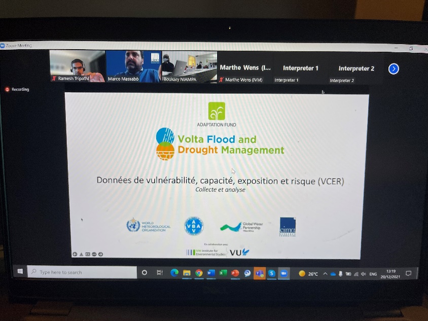
For the risk maps development, 61 National technicians (working in Meteorology, hydrology, water resources, geographical institute, reserachers etc.) were mobilized in the six countries of the Volta basin (Benin, Burkina Faso, Ivory Coast, Ghana, Mali and Togo) between April- December 2021. These technicians supported in data collection and have followed with interest online and face-to-face trainings regarding the preparation of scenario-based exposure and impact maps with the support of the CIMA Research Foundation in collaboration with the Institute for environmental studies (IVM) from the Vrije University.
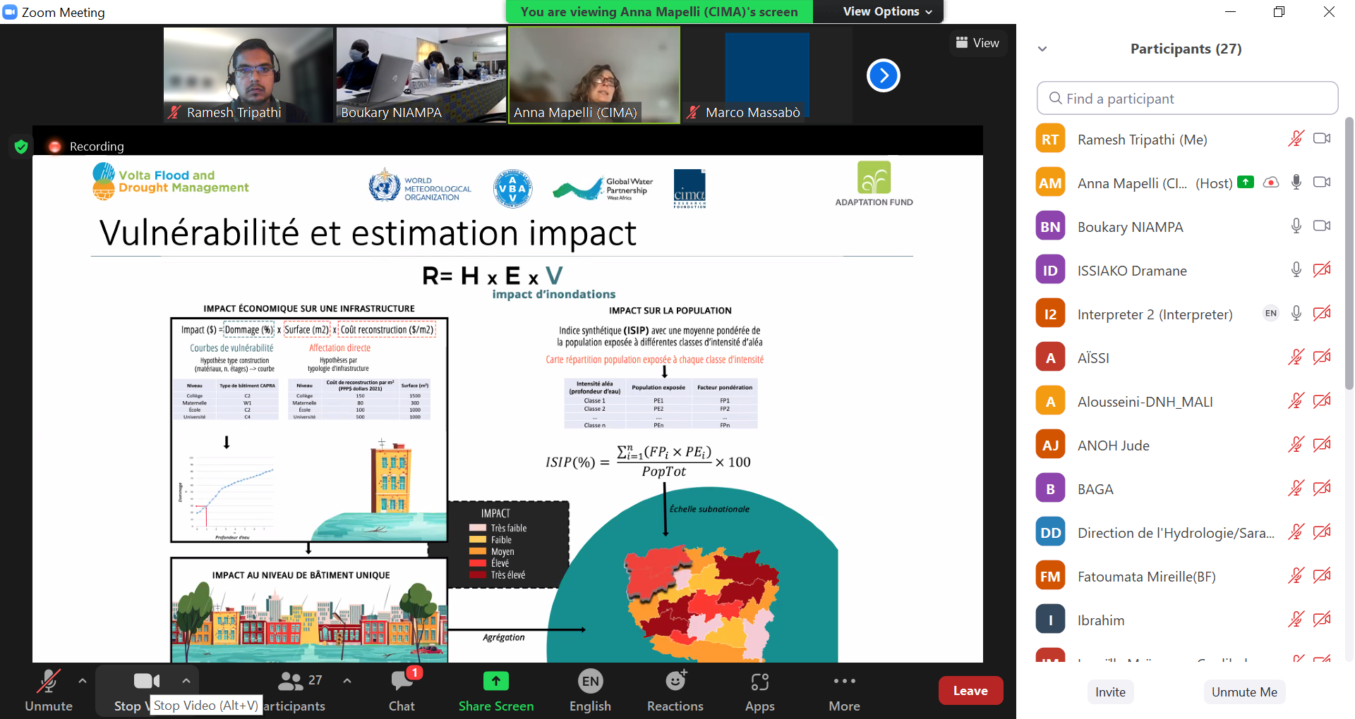
The flood and drought risk maps (using both scenario-based and probabilistic approach) and climate scenario developed will be useful for strengthening the National preparedness and response to the climate change events.
The workshop press release is available here: https://youtu.be/-On5jXhwNUs
For more information on the VFDM project: https://www.floodmanagement.info/volta-basin/
